The World Shipping Council Digitizes Its Whale Chart: Make Marine-Mammal Rules Route-Aware

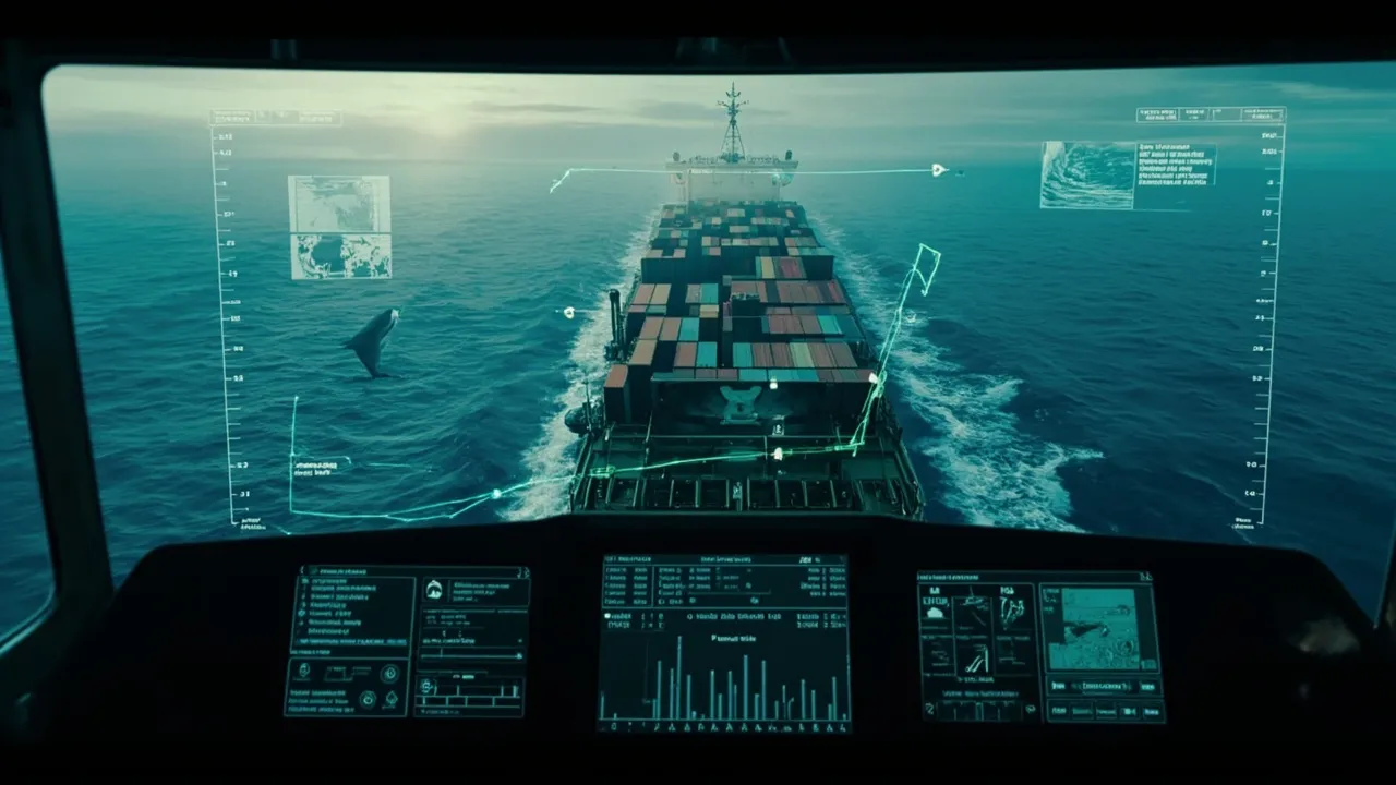
Marine-mammal protection is a real voyage-planning constraint, not a note to add after the route is built. A vessel may encounter seasonal speed limits, areas to avoid, reporting schemes, recommended tracks, and changing guidance during one voyage. When those measures live across charts, notices, and local instructions, it is easy for a planner to miss which rule applies at a particular place and time.
The World Shipping Council's digital Whale Chart is an important step toward making that information usable. The operational opportunity is bigger than displaying a map: carriers, forwarders, and beneficial cargo owners can translate the chart into route-aware rules that affect schedules, ETAs, approvals, and compliance evidence before a voyage begins.
A digital chart closes an information gap
SupplyChainBrain reports that the World Shipping Council has launched a digital version of its Whale Chart to make information about ship-based whale-protection measures easier to access. That matters because the underlying requirements are geographically and temporally specific. A static reference may tell a user that a measure exists; a digital layer can help connect it with an intended track and sailing date.
The risk is substantial. Reuters reported in 2023 that more than 80% of ships were speeding through U.S. East Coast “go slow” zones intended to protect North Atlantic right whales. The statistic illustrates the gap between publishing a restriction and consistently incorporating it into execution.
Speed makes a measurable difference. FreightWaves notes that U.S. speed zones require vessels to operate at 10 knots or less and cites an estimated 80% to 90% reduction in a whale's risk of death from a vessel strike at that speed. For a planner, however, reducing speed is not a standalone action. It changes transit time, fuel planning, berth windows, connections, equipment cycles, and customer ETAs.
Convert map features into effective-dated rules
A route-aware compliance process needs structured data behind the visual layer. Each protection measure should become a rule record with a geographic boundary, effective start and end, time zone, vessel applicability, required or recommended action, authority, source URL, and revision date.
The rule type matters. A mandatory speed restriction should trigger a different workflow from a recommended slowdown. An area to avoid may require route recalculation, while a reporting scheme may require a submission milestone and confirmation. Routing guidance, lookout requirements, and whale-sighting advisories also need distinct actions and owners.
Rules should be evaluated against the vessel and voyage, not simply against the port pair. Relevant fields can include vessel length, class, draft, flag, operating speed, planned track, port-call sequence, and expected entry time into a protected zone. A seasonal rule should activate only for the dates and geography in scope, but the system must reevaluate it when the ETA changes.
Versioning is essential. Operators need to know not only today's rule but which rule set was active when a route was approved. Never overwrite a prior restriction in place. Give every version an effective period and retain its source so an auditor can reconstruct the decision later.
Recalculate when the voyage changes
The first compliance check should occur during route design, but it cannot be the last. A departure delay can move a vessel into a seasonal window. Weather avoidance can shift the track into a protected area. A port omission can change both course and timing, while a new sighting advisory may make a previously acceptable plan inappropriate.
Set event-driven checks for route creation, booking confirmation, departure, material ETA changes, course deviations, and newly published measures. At each event, compare the latest voyage geometry and timing with the applicable rule set. The output should show affected route segments, required actions, estimated schedule impact, and whether human approval is needed.
This is also where transport planning becomes more honest. If a segment must be sailed at 10 knots rather than a normal service speed, the ETA should absorb that effect before downstream teams promise delivery. One earlier FreightWaves analysis described average Asia-to-North Europe container-ship speed at about 16 knots. Although speeds vary by service and conditions, the comparison shows why a protected-zone slowdown cannot be treated as operationally invisible.
Build an evidence trail for every decision
For each evaluation, retain the voyage-plan version, timestamp, rule versions tested, result, planner, and any exception or approval. If the route is changed, link the old and new assessments rather than replacing one with the other.
An exception workflow should state whether the measure is mandatory or advisory, why the standard action cannot be followed, what alternative mitigation is proposed, and who is authorized to approve it. Mandatory legal restrictions are not candidates for routine commercial override. The workflow instead helps distinguish lawful operational decisions from recommendations that permit documented judgment.
The completed record can also capture actual track, speed through the zone, required reports, acknowledgements, and any whale sighting or strike report. That evidence supports internal review and helps teams identify recurring weak points: late rule checks, inaccurate ETAs, routes that repeatedly generate exceptions, or vessels that miss speed targets.
Put environmental constraints inside transportation execution
CXTMS can connect ocean bookings and voyage milestones with geographic compliance rules. A team can associate each shipment with its vessel and voyage, evaluate protected-zone exposure, revise ETAs when a speed measure applies, and route exceptions to the right owner. Alerts can focus on what changed instead of asking planners to reread every reference for every sailing.
The result is a stronger control loop: identify the applicable measure, quantify its operational effect, approve the plan, monitor execution, and preserve proof. The digital Whale Chart improves access to the source information. Turning that information into structured, effective-dated transportation rules is what makes it actionable.
Request a CXTMS demo to see how route constraints, voyage exceptions, and auditable approvals can be managed in one transportation workflow.