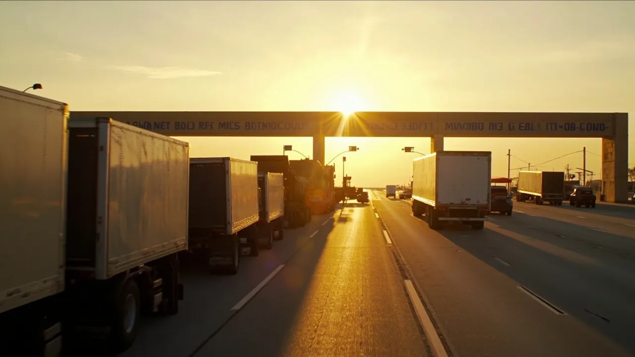
Mexico's $2.2 Billion Oaxaca Program Needs One Project-Logistics Dependency Map


Mexico's new infrastructure commitment to Oaxaca is large enough to transform regional mobility—and complex enough to create its own freight bottlenecks. The federal government announced MX$37.8 billion ($2.2 billion) for transportation and public infrastructure across the state, according to SupplyChainBrain. The program prioritizes roads, bridges, airports, and rural connectivity.
Those assets cannot be planned as isolated construction sites. They will draw from overlapping pools of dump trucks, lowboys, cranes, cement, aggregate, fuel, skilled crews, storage space, and permitted road capacity. If every contractor optimizes only its own schedule, simultaneous projects can bid against one another for the same equipment and crowd the same corridors.
Oaxaca therefore needs one project-logistics dependency map: a shared operating picture that connects every milestone to the materials, transport capacity, access conditions, permits, and predecessor tasks required to achieve it.
Convert the capital program into freight demand
The program's MX$37.8 billion headline is a funding measure, not a logistics plan. Program managers should translate each work package into time-phased freight demand. That means estimating tonnes, cubic meters, truckloads, special equipment, staging days, and delivery windows—not merely procurement value.
Each project type creates a different logistics signature:
- Road projects consume recurring flows of aggregate, asphalt, drainage products, fuel, and earthmoving equipment. Their demand moves as the workface advances.
- Bridge projects add long or heavy components, cranes, temporary works, and tightly sequenced concrete pours. One late girder or unavailable crane can idle several crews.
- Airport work requires secure airside access, specialized paving materials, lighting and navigation equipment, and construction windows coordinated around operations.
- Rural infrastructure often means smaller shipments to more destinations over roads with lower weight limits, fewer passing points, and limited unloading equipment.
The first layer of the map should show weekly demand by commodity, origin, corridor, vehicle type, and site. A second layer should show capacity: approved carriers, available equipment, storage, fueling points, and safe staging locations. Overlaying demand and capacity will reveal conflicts before they become queues.
Map dependencies, not just routes
A route line on a map says where a truck could travel. A dependency record says what must be true for the shipment to arrive safely and on time.
For oversized equipment, the record should include surveyed clearances, bridge ratings, turning radii, escort requirements, travel-hour restrictions, and utility relocations. For concrete or temperature-sensitive materials, it should show maximum transit time and backup plants. Imported airport systems may add port release, customs documentation, inland transfer, and secure storage dependencies.
Every milestone should then link to its critical inbound events. A bridge deck pour, for example, depends on formwork approval, weather, batch-plant capacity, mixer dispatch intervals, traffic control, pump availability, laboratory coverage, and contingency material. A conventional Gantt chart might place these activities on a timeline; the dependency map exposes the shared resources and failure points connecting them.
That distinction matters because infrastructure disruption is rarely confined to one site. FreightWaves has documented how Mexican highway blockades have produced four-to-eight-hour transit delays, with some freight rerouted to alternate crossings. Although those incidents concerned different corridors, the operational lesson applies directly: access cannot be treated as a fixed assumption. Each critical movement needs a primary route, a validated alternative, a decision deadline, and an owner authorized to activate the contingency.
Build seasonal access into the baseline
Oaxaca's terrain and dispersed communities make seasonal planning essential. Program teams should classify every site and corridor by rainfall exposure, slope risk, drainage condition, daylight restrictions, and the availability of recovery equipment. Seasonal constraints belong in the baseline schedule; they are not exceptions to add after a road becomes impassable.
The map should flag the last responsible date for moving heavy machinery into difficult sites, along with minimum inventory buffers for cement, fuel, culverts, and other critical supplies. Pre-positioning everything is expensive and can expose materials to loss or deterioration. The better approach is selective buffering based on lead-time variability, consequence of delay, and storage suitability.
Weather triggers should also be explicit. A rainfall threshold, inspection failure, community access issue, or road closure should automatically pause dispatch, identify affected loads, and calculate the next feasible delivery window. That prevents drivers from being sent toward a site that can no longer receive them.
Stop concurrent projects from competing blindly
The federal program sits within a much larger national investment environment. Reuters reported that Mexico outlined MX$5.6 trillion ($323 billion) in public-private investment through 2030. As programs accelerate, competition for engineering talent, heavy equipment, and transport capacity will extend beyond Oaxaca.
A program-level logistics control tower should run a rolling 12-week capacity review. Contractors would submit upcoming needs in a standard format, while planners compare them with carrier commitments and corridor restrictions. When demand exceeds supply, the program can sequence milestones, consolidate compatible loads, reserve shared staging yards, or source alternatives before spot prices and delays escalate.
Governance matters. Contractors should retain responsibility for execution, but a neutral program team should set common booking windows, location codes, milestone definitions, and priority rules. Emergency work, safety-critical deliveries, and activities on the program's critical path need transparent priority over routine replenishment. Otherwise, the contractor with the loudest escalation wins the truck.
Give every stakeholder milestone-based visibility
Public agencies, contractors, carriers, and communities do not need identical dashboards. They do need one version of milestone status.
Track a concise set of operational events: material ready, permit approved, vehicle assigned, gate appointment confirmed, dispatched, corridor checkpoint passed, arrived, unloaded, inspected, and accepted. Each event should carry a timestamp, location, accountable party, and exception code. Milestones should measure physical readiness—not optimistic percentage-complete estimates.
Useful program metrics include on-time-in-full delivery to site, vehicle wait time, missed work windows, permit cycle time, equipment utilization, tonnes moved by corridor, and days of buffer for critical materials. Community-facing views can publish planned heavy-vehicle windows, temporary closures, and changes to local access without exposing commercial data.
The payoff is practical: fewer surprise conflicts, safer movements, better use of scarce equipment, and earlier intervention when one delayed dependency threatens several projects. A $2.2 billion program deserves more than separate contractor spreadsheets. It needs a shared map of how the work actually moves.
Planning a complex project-freight network? Request a CXTMS demo to see how centralized milestones, carrier coordination, and shipment visibility can connect every dependency from origin to jobsite.